
There are two season’s for Sportsman’s Club Hiking Group: Snowbird Season from October 1st to April 30 and Firebird Season from May 1 to September 30.
During Snowbird Season there is a C hike or B hike every Thursday. During the season there will be approximately 40% B hikes and 60% C hikes. Sometimes the hikes might be scheduled for Tuesday or Wednesday due to Hike Leader’s personal scheduling issues The weekly correspondence will designate the Hike Level/Type and departure times. Departure times do change during the season for weather and daylight preferences.
During Firebird Season there is a hike every Thursday which departs from Sun City West at 6 AM to try to beat the heat. To get pre-hike emails for the Firebird Season (Summer Hikes), send an email to hike Coordinator/Communicator Michael at manenen@sbcglobal.net.
Hikes are classified according to the degree of difficulty, and each individual must gauge his/her ability and stamina for each event. Hikes are scheduled each month for all levels of ability.
To help you determine which hike-level is within your ability, the following hike descriptions will be used:
C-Hike – Easy to moderate (some inclines/rocky trails), =>3 miles but <6miles.
B-Hike – Moderate (some steep inclines/challenging terrain), =>6 miles but =<8miles.

C &B Hikes
Hiking is great exercise. Join us! Remember to always think of hiking safety; boots, poles and plenty of water.
Please note that hike details are subject to change due to weather and other unforeseen situations. The hike Coordinator/Communicator will notify those hikers on the email list of such changes, when necessary. Also, more details about the hike will be sent to the email list a few days before each hike.
If anyone wants to be on the Hiker email list, send an email to Michael at manenen@sbcglobal.net or text to 312-213-9538.
For other local hiking information, go to www.maricopacountyparks.net.
April 2024 Hikes
7:30 AM Thursday, April 18, 2024. C – Hike at Lake Pleasant Regional Park- North Entrance. This is an Out and Back hike starting at Pipeline Canyon Trail to Yavapai Point Trail overlooking Lake Pleasant back to Pipeline Canyon Trail (Left) to Pipeline Cove and back to Parking Lot. This hike is 5.0 Miles with 950’ Gain.
7:30 AM Thursday, April 25, 2024. C – Hike at Spur Cross Ranch Conservatory. This is a loop hike starting at Spur Cross Trail to Metate Trail to Towhee Trail (in & out) to Spur Cross Trail to Dragonfly Trail to the Jewel of the Creek back to parking lot. This hike is 5.1 Miles with 420’ Gain
May 2024 Hikes
6:00 AM Thursday, May 2, 2024. C – Hike at Phoenix Sonoran Desert Preserve – Desert Vista Trailhead. Lollipop Loop: Hawk’s Nest Trail to Desert Tortoise Trail to Valle Trail to Dixie Mountain Trail back to Hawk’s Nest Trail to parking lot. The hike is 4.4 Miles with 860’ of Gain
6:00 AM Thursday, May 9, 2024. C – Hike at Black Canyon Trail – Emery Henderson Trailhead. Black Canyon Trail, known as Biscuit Flats and Boy Scout segments, is a seldom hiked segment of the Black Canyon Trail. The hike is 5.3 Miles with 320’ of Gain.
6:00 AM Thursday, May 16, 2024. C – Hike close to Lake Pleasant Regional Park – Agua Fria Trailhead. Agua Fria Trailhead – CSR (Canal Service Road) marked by two white posts. This is an Out & Back hike eastward and see Waddell Dam and Beardsley Canal. 4.4 miles with 550’ of Gain
6:00 AM Thursday, May 23, 2024. C – Hike at Sonoran Mountain Ranch. Loop w/ 3 short spurs: This hike is 3.3 Miles with 738’ of Gain.
6:00 AM Thursday, May 30, 2024. C – Hike White Tank Mountain Regional Park. Loop hike starting at Area #4. Starting at Mule Deer Trail to Ford Canyon to Waddell to Mesquite Canyon to Mule Deer to Parking Lot. This hike is 5.6 Miles with 327’ of Gain
June 2024 Hikes
6:00 AM Thursday, June 6, 2024. C – Hike at Spur Cross Ranch Conservation Area. This is an Out & Back hike starting at Spur Cross Trail to Fairy Duster Trail Loop to Spur Cross Trail to Road 48 into the Tonto National Forest then back to Spur Cross Trail to Metate and Towhee Trails to Spur Cross Trail to parking lot. The hike will be 5.3 miles with 395’ of Gain.
6:00 AM Thursday, June 13, 2024. C – Hike at Calderwood Butte in Peoria. The close by trail is a loop with some in and out spurs (optional but hike would be too short). This is 4.3 Miles with 889’ of Gain
6:00 AM Thursday, June 20, 2024. B – Hike at McDowell Sonoran Preserve – Brown’s Ranch Trailhead. Lollipop Hike: Upper Ranch to Cone Mt. to Cloudburst to Hawk’s Nest to Basalt to Upper Ranch to Parking Lot. 6.2 Miles with 240’ of Gain
6:00 AM Thursday, June 27, 2024. C – Hike at Black Canyon Trail – Table Mesa Trailhead. This is an Out & Back hike of the Windmill Valley Segment. The hike will be 5.3 Miles with 570’ of Gain.
July 2024 Hike
6:00 AM Thursday, July 4, 2024. C – Hike at Lake Pleasant Regional Park – Wild Burro Trailhead. This is an Out & Back hike of Wild Burro & Canyon Pipeline Trails. The hike is 4.5 Miles with 445’ Gain.
6:00 AM Thursday, July 11, 2024. C – Hike at McDowell Sonoran Preserve – Tom’s Thumb Trailhead. This is a loop hike of Marcus Landside Trail Loop. The hike is 4.8 Miles with 585’ Gain.
6:00 AM Thursday, July 18, 2024. C – Hike Sunrise Mountain Preserve – Sunrise Mountain Trail Loop Trail. Sunrise loop trail includes Sunrise/Ridgeline with two loops around the peaks. The hike is 4.0 Miles with 720’ Gain.
6:00 AM Thursday, July 25, 2024. C – Hike Skyline Regional Park-Turnbuckle Trailhead. Lollipop hike of Turnbuckle Trail to Granite Falls trail back to Turnbuckle trail and back to parking lot. The hike is 3.9 Miles with 490’ Gain.
August 2024 Hike
6:00 AM Thursday, August 1, 2024. C – Hike Estrella Mountain Regional Park – Toothaker Trailhead. This is a loop hike of Toothaker Trail to Butterfield Trail to Dysart Trail to Toothaker trail and back to parking lot. The hike is 4.3 Miles with 400’ Gain.
6:00 AM Thursday, August 8, 2024. C – Hike at Calderwood Butte in Peoria. The close by trail is a loop hike with some in and out spurs (optional but hike would be too short). The hike is 4.1 Miles with 866’ of Gain.
6:00 AM Thursday, August 15, 2024. C – Hike at White Tank Mountain Regional Park – Sonoran Competitive Track Trailhead. This is a loop hike of the Sonoran Competitive trail mostly a 10 feet wide track that goes up and down washes as it meanders through the desert. This is 4.8 Miles with 318’ Gain.
6:00 AM Thursday, August 22, 2024. C – Hike at Deem Hills Trailhead at 39th Ave. This is a loop hike of the Circumference Trail to Ridgeline Trail back to Circumference Trail to parking lot. This is 3.8 Miles with 606’ Gain.
6:00 AM Thursday, August 29, 2024. C – Hike at McDowell Sonoran Preserve – Fraesfield Trailhead. This is a loop hike of Black Hill Trail to Turpentine Trail to Whiskey Bottle Trail and back to Parking Lot. This is 4.9 Miles with 715’ Gain.
2021 Hikes

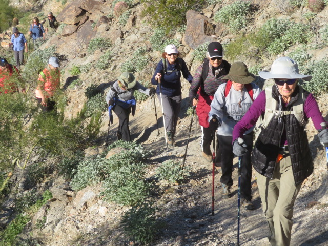
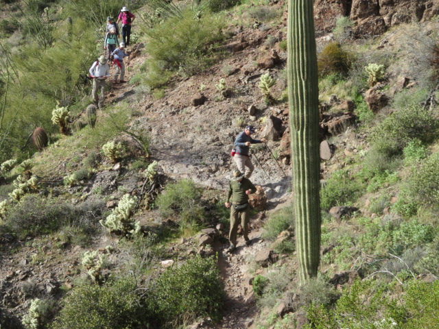
C Hikers on Walkin’ Jim Trail

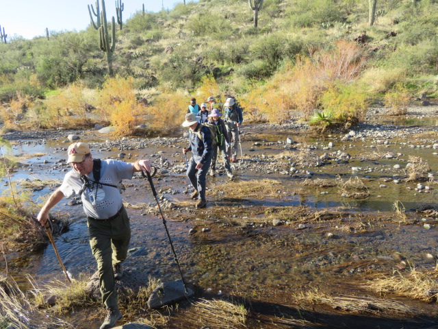
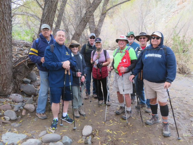
C Hikers cross the Agua Fria River

C Hikers cross Cave Creek

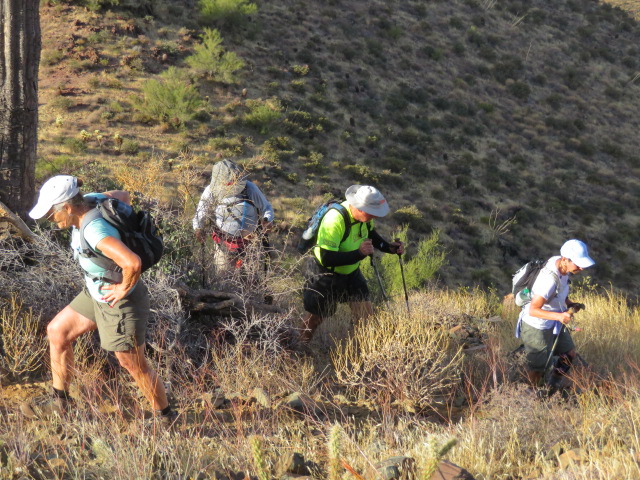
C Hikers on Sidewinder Trail


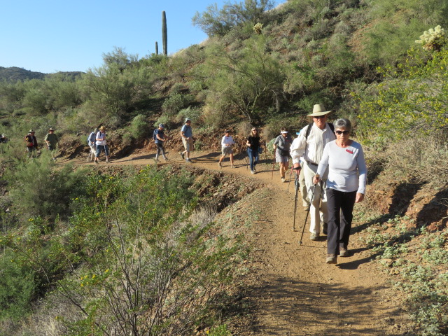
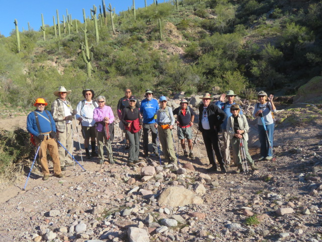
C Hikers on the Black Canyon Trail

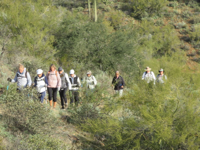
C Hikers at Dragonfly Trail-Spur Cross Park

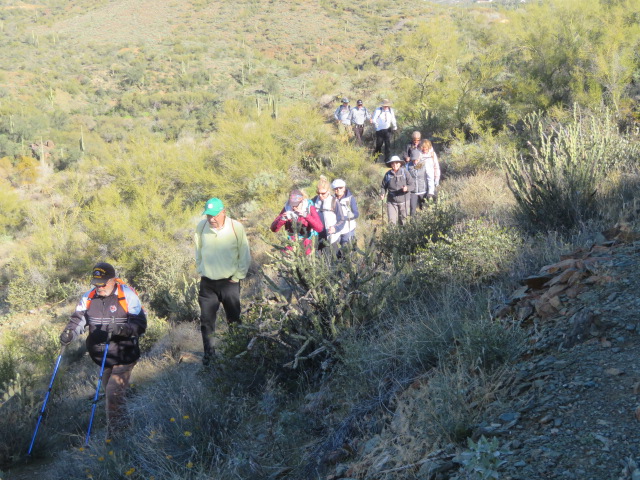
B Hikers at McDowell Sonoran Preserve

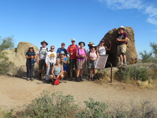
C Hikers at Balanced Rock

C Hikers at White Tank Mt. Park

B Hikers on Black Canyon Trail

Hikers on the Black Canyon Trail
2020 Hikes
C Hikers Marcus Landslide
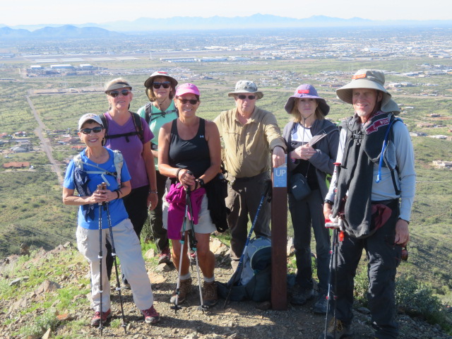
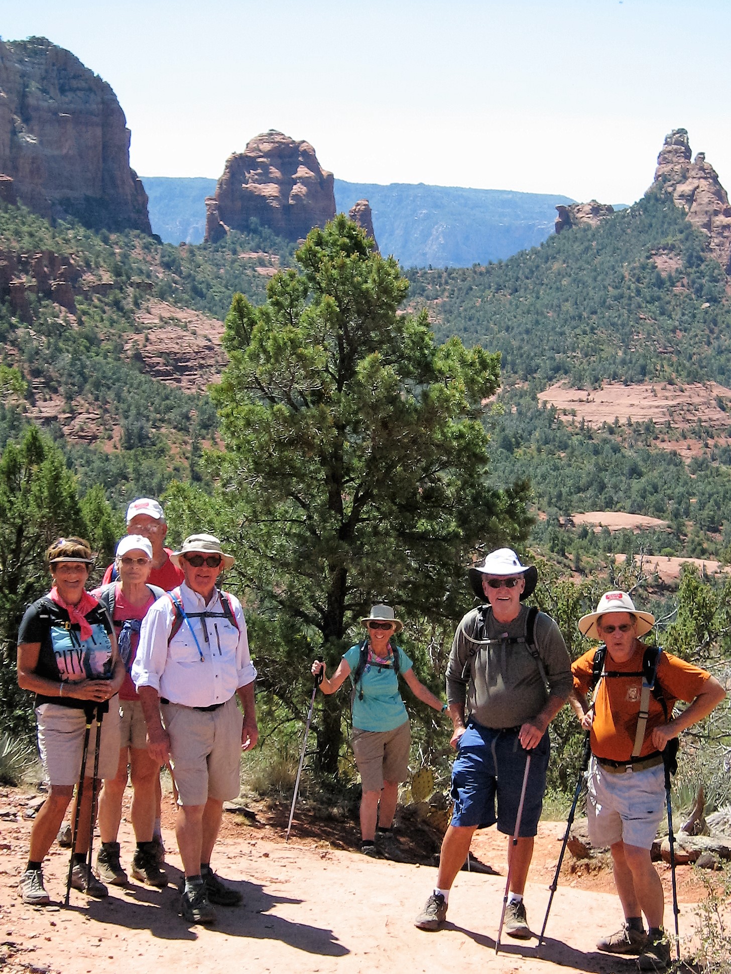
B Hikers atop Union Peak
C Hikers Skyline Park

C Hikers Marcus Landslide

B Hikers Yavapai Point

B Hikers Willow Spring
B Hikers cross Cave Creek
C Hikers Cave Creek Park
C Hikers Black Canyon Trail
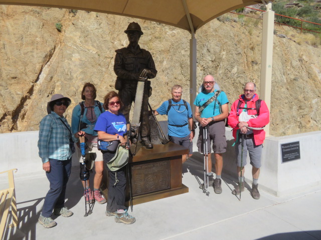
B Hikers at Granite Mt. Hotshots Memorial
C Hikers Aqua Fria
B Hikers Elephant Mountain
C Hikers Cottonwood Creek
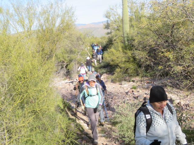
C Hikers Black Canyon Trail
C Hikers Black Canyon Trail